Maps

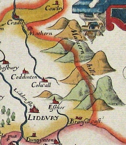
The earliest map which features Colwall is the Christopher Saxton Map which was produced in 1577. Christopher Saxton mapped the whole of England for William Cecil who was chief advisor to Queen Elizabeth I.

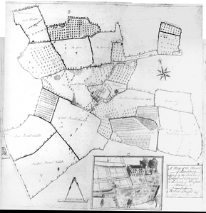
Various estate maps for Colwall where produced including the 1628 map of Malvern Chase, the 1758 Brockbury estate map, the 1780 Holder map and the 1806 Bright estate map.

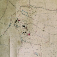
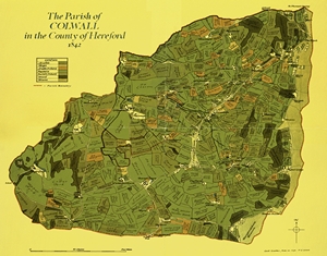
The 1836 Tithe Commutation Act required a detailed survey and mapping of every land parcel in every parish in England Wales. The authorities used the information to create apportionment books which detailed the plots of land by owner and use. These apportionment records were then linked to very detailed maps to identify where the plot was. Colwall's apportionment record was done in 1840 and the Tithe map produced in 1841/1842.

In the 1990s Geoff Gwatkin painstakingly redrew many of the Tithe maps a scale of 6 inches to a mile. Unlike the original Tithe map the field names and land uses were added. A black and white version of covering Colwall, Coddington and Mathon can be purchased for £10 + p&p. In 2000 he colourised the Colwall Parish Tithe map for inclusion in the "Colwall through the Millennia" booklet.

Our Interactive Map has the option to see the following maps and aerial photos of Colwall overlaid on the current street map of Colwall or on an aerial view of Colwall:
- 1841 Tithe Map (original)
- 1841 Tithe Map (Geoff Gwatkin's Representation)
- 1885 1st Edition Ordnance Survey
- 1946 RAF Aerial Photos
Links to other maps
- Colwall Remembers
- Maps relating to the soldiers on the Colwall War Memorial. Where in Colwall they were connected to and where in the World they are buried.
- Herefordshire Administrative Map
- This map can be used to view the Tree Preservation Orders in the parish.
- Herefordshire Public Rights of Way
- This map can be used to view the footpaths in the parish. Zooming into the map also identifies the names of houses.